This process ensures clarity, prevents disputes, and supports informed decision-making in property transactions, land development, and other projects. In Ontario, where property rights and land use are governed by stringent legal frameworks, the role of the boundary surveyor is indispensable for maintaining the integrity of land ownership and use.

Schedule A Call with Juzer
Why You Need A Boundary Survey
- Property Transactions: Buyers, sellers, and lenders often require a boundary survey to verify that the property being sold matches the legal description in the deed.
- Land Development: Developers need accurate boundary surveys to ensure compliance with zoning regulations and to avoid encroachment on neighboring properties.
- Dispute Resolution: Boundary surveys are critical in resolving disagreements between neighbors regarding property lines or rights of way.
- Municipal Requirements: Local governments often require boundary surveys as part of the permitting process for construction, renovations, or subdividing land.
How We Help As Ontario Land Surveyors
In Ontario, boundary surveys must be conducted by licensed Ontario Land Surveyors (OLS), regulated by the Association of Ontario Land Surveyors (AOLS). This ensures that surveyors adhere to high standards of professionalism, technical expertise, and ethical conduct. An OLS is uniquely qualified to interpret historical land records, legal descriptions, and the applicable provincial statutes such as the Surveyors Act and the Registry Act.
Our 4-Step Boundary Survey Process
The process of conducting a boundary survey typically involves these steps:
-
- Research: The surveyor begins by gathering relevant legal and historical documents, including deeds, subdivision plans, and prior surveys. These documents are used to establish the legal framework for the property boundaries.
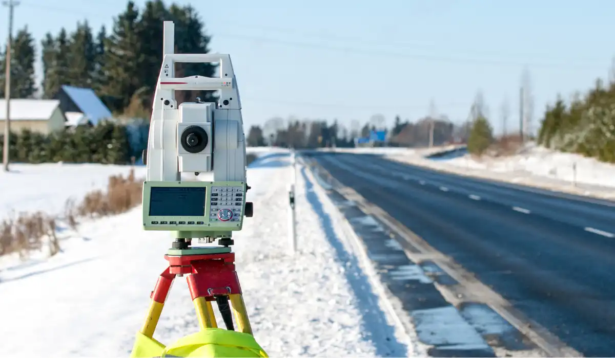
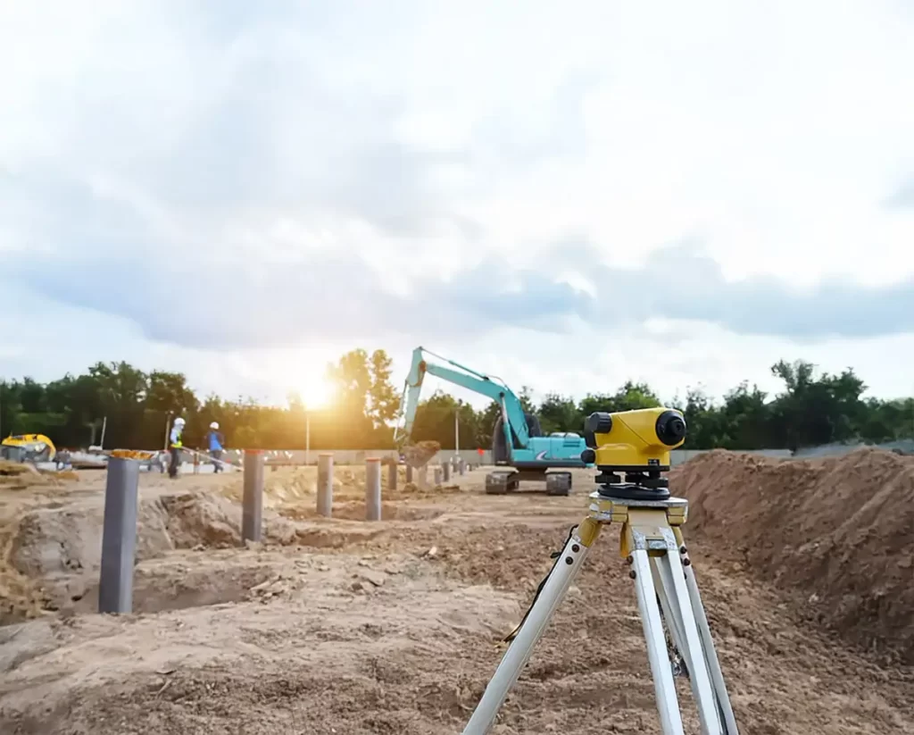
- Fieldwork: On-site measurements are taken using advanced surveying equipment like total stations, GPS, and drones. Surveyors also look for physical evidence such as monuments, fences, and markers that indicate previous boundary lines.
- Analysis: The surveyor compares the field data with historical records to resolve discrepancies and accurately define the boundaries. This may include addressing issues like adverse possession or overlapping claims.
- Marking and Mapping: The surveyor places boundary markers on the ground and creates a detailed survey plan or map. This plan serves as a legal document that can be used in court if necessary.
Benefits of Boundary Surveying
Boundary surveys offer several benefits to property owners and stakeholders:
- Clarity and Confidence: Knowing the exact boundaries of a property provides peace of mind and reduces the risk of disputes.
- Legal Protection: A boundary survey serves as a legal record that can protect property rights and assist in resolving conflicts.
- Enhanced Property Value: Accurate boundary information can increase the marketability of a property.
In summary, boundary surveying is an essential service provided by Ontario land surveyors to ensure accurate property boundaries and protect the rights of property owners. With their expertise and adherence to legal standards, Ontario Land Surveyors play a critical role in supporting the province’s land management and development needs.
Frequently Asked Questions
How long does a boundary survey take for a large industrial property?
Large industrial parcels take longer because the survey must retrace multiple instruments, registered plans, and easements. Field work often requires several site visits due to access, security, and operating hours. Research, boundary analysis, and plan preparation take most time. Typical timelines range from two to six weeks, depending on records quality and site complexity.
Does title insurance replace a boundary survey in Ontario commercial real estate?
Title insurance does not replace a boundary survey. Insurance may cover certain losses, but it does not establish boundary location or confirm occupation on the ground. A current plan identifies encroachments, easements, and physical occupation that can affect value and development rights.
What survey do I need for site plan approval or a building permit in Ontario?
Most Ontario municipalities require a current survey plan that clearly shows property limits, existing improvements, and key dimensions. Site plan approval usually also requires topographic information to support grading and servicing design. Building permit submissions often need setback confirmation tied to surveyed boundaries. Requirements vary by municipality and project scope, and Avant Garde Geomatics will provide complete survey documentation that aligns with the submission checklist.
What survey do commercial lenders require in Ontario financing?
Commercial lenders usually ask for a recent OLS plan of survey. It should confirm boundaries, improvements, and key easements. Lenders use it to assess collateral risk and access rights. Some files rely on commercial title insurance coverage, but policy rules vary.
Can a boundary survey help resolve a property line dispute between neighbours?
A boundary survey provides the authoritative basis for resolving a line dispute. An Ontario Land Surveyor retraces title, evaluates all boundary evidence, and determines the boundary location under Ontario rules of evidence. A plan provided by your surveyor will support supports negotiation, legal counsel, and court proceedings during disputes.


