Choosing the right commercial land surveyor shapes every step of a project. Developers, architects, engineers, and construction teams all rely on precise information to move forward with confidence. Mistakes cost time and money. The right surveying partner protects your investment from the start.
At Avant Garde Geomatics, we combine licensed expertise, advanced geospatial tools, and a client centered approach to deliver reliable surveying work across Kingston and Sudbury.
Here are 7 reasons you should hire Avant Garde Geomatics for your next commercial project:
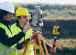
Licensed Ontario Land Surveyors You Can Trust
Ontario law requires property surveys to be completed by a licensed Ontario Land Surveyor. This protects property owners and commercial clients from boundary errors, compliance issues, and legal disputes in the future.
Juzer Noman, founder of Avant Garde Geomatics, is a licensed Ontario Land Surveyor with a master’s degree in geomatics sciences. He brings years of hands-on field experience and advanced spatial analysis expertise to every project.
Your survey gets direct oversight from an experienced commercial specialist who understands Ontario regulations, land development standards, and construction demands.
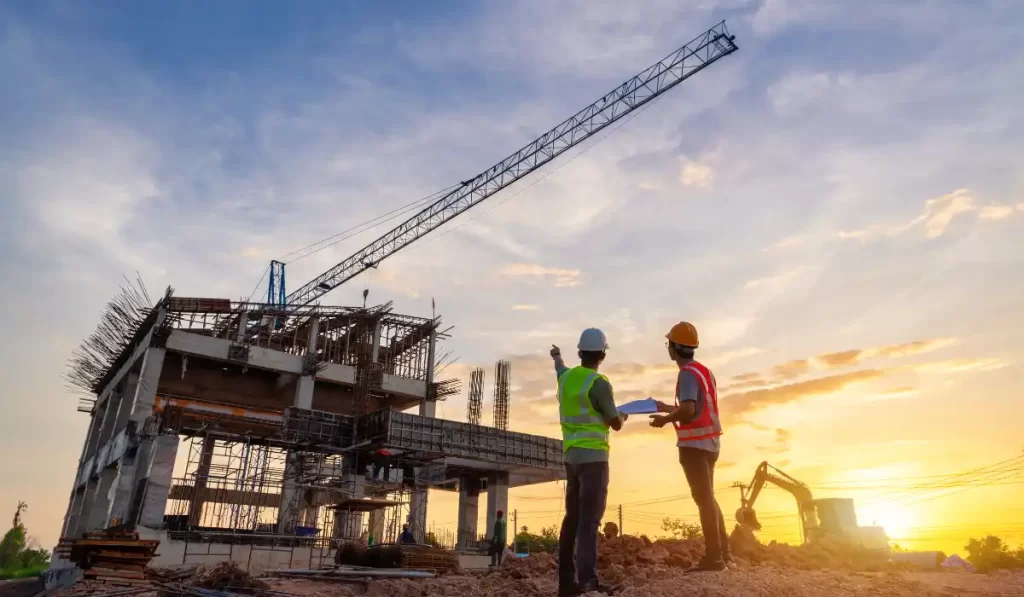
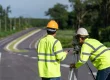
Commercial Surveying Services Built for Complex Ontario Projects
Commercial developments in Ontario involve layered regulations, multiple stakeholders, and tight construction timelines. Each site demands precise data, clear documentation, and survey work that holds up under municipal and legal review. Avant Garde Geomatics delivers commercial surveying services built for this level of complexity.
We support:
- Developers building new multi storey residential or mixed use projects
- Commercial builders working on plazas, retail centres, warehouses, and industrial sites
- Architects who need precise site data to design safe structures
- Civil engineers responsible for drainage, grading, utilities, and infrastructure
- Environmental consultants who need accurate terrain and feature data
- General contractors who rely on exact layout points to avoid costly site errors
These teams depend on high accuracy data to reduce delays and prevent redesigns.
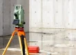
Advanced Technology That Shortens Timelines
Commercial work runs on tight schedules, which is why you need survey data that arrives fast and supports every stage of design. Avant Garde Geomatics uses modern tools that reduce field time, improve accuracy, and speed up delivery. Each technology strengthens your workflow in a different way.
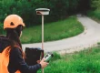
GNSS Equipment
GNSS receivers give fast and reliable positioning across large sites. They help us capture control points, boundary lines, and elevations in less time.
LiDAR Systems
LiDAR captures millions of data points in seconds. It gives a crisp and detailed view of structures, terrain, and vegetation.
Drones
Drones help us reach large or hard to access areas quickly. They collect aerial images and topographic data with strong accuracy.
Robotic Total Stations
Robotic total stations allow one surveyor to collect precise measurements with speed and consistency. They track movement, measure angles, and capture distances with strong accuracy.
Together, these tools deliver fast and high quality data. You get clear reports, smooth design workflows, and fewer site delays.
Experience Working Across Ontario
Ontario’s surveying landscape changes from region to region. Cities, towns, rural areas, and industrial lands, each come with different ground conditions, access issues, and municipal requirements. Commercial projects demand surveyors who know these differences and how they affect the whole survey process.
Avant Garde Geomatics delivers services in Kingston and Sudbury and understands how local context shapes every stage of a project. Surveyors with local experience reduce surprises during design and construction phase, and support smoother approvals with local authorities, engineers, and project planners.
BIM Ready and Future Focused Deliverables
Building Information Modelling has changed how major projects come together in Ontario. Avant Garde Geomatics supports this shift by providing survey data that fits directly into BIM workflows. We aim to help architects, engineers, and contractors work with accurate 3D information at every stage of the project.
BIM lets us turn topographic, geodetic, and cadastral data into detailed digital models. These models improve accuracy, reduce design conflicts, and support better decisions during planning and construction. They also make complex survey information easier for teams and stakeholders to understand through clear, visual representations.
Client Centered Approach From Start to Finish
Avant Garde Geomatics takes a client centered approach that focuses on clarity, communication, and tailored support. We start by learning the purpose of your project, your timelines, and the level of detail your design and construction teams require.
You receive updates at every stage, with clear reporting, and deliverables. Whether the project involves early planning, active construction, or final as built checks, you can expect responsive service and solutions that match the demands of your site.
Competitive Pricing
Avant Garde Geomatics uses modern technology and streamlined field methods to reduce project costs without affecting quality. Faster workflows mean fewer billable hours and clearer delivery timelines. This allows us to offer competitive pricing while still providing the accuracy, reliability, and detail commercial clients expect.
For Your Commercial Land Surveying Projects
Avant Garde Geomatics is led by Juzer Noman, a licensed Ontario Land Surveyor with advanced training in geomatics. Juzer approaches surveying with a clear focus on accuracy, data quality, and modern geospatial methods.
Clients benefit from leadership that understands both the science behind surveying and the practical experience in the commercial space.
Reach out today to schedule a free consultation and start your project with confidence.